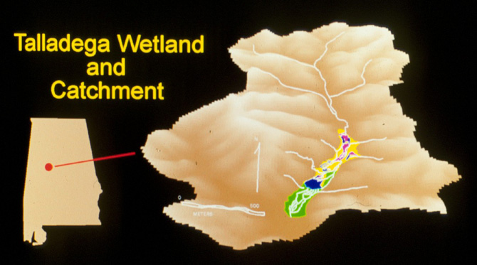
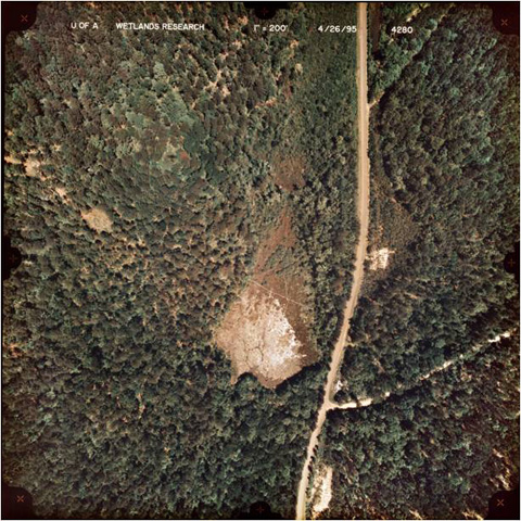
The Talladega Wetland Ecosystem (TWE) was formed some 60 years ago primarily by a series of beaver impoundments along Payne Creek, a second-order stream in a 384 ha forested catchment in the Oakmulgee District of the Talladega National Forest in Hale County, AL.
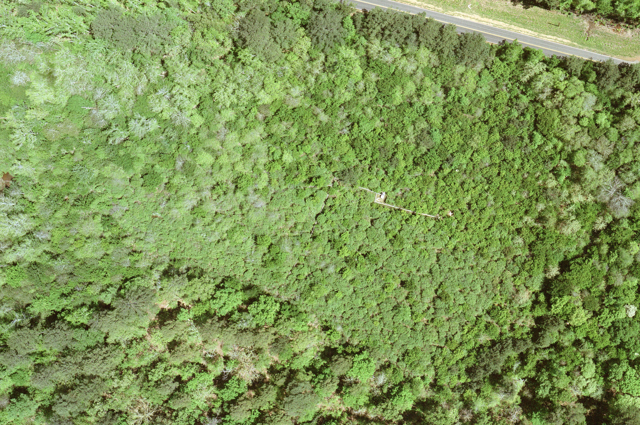
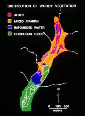
The TWE is composed of small ponds and anastomosing stream channels with plant communities adapted to wetland conditions within and along Payne Creek, a second-order, sandy-bottomed stream that drains 384 ha of mixed pine and hardwood forest. The TWE is one of many similar wetlands located in the Talladega National Forest.
Site Description
The Talladega Wetland Ecosystem lies in the Fall Line Hills regions of the Eastern Gulf Coastal Plain within the Oakmulgee District of the Talladega National Forest (32° 54′ 41″, 87° 26′ 25″). The district covers over 6,300 ha in the central Alabama counties of Hale, Tuscaloosa, Bibb, Perry, Chilton, and Dallas.
The topography surrounding the TWE is gently rolling to strongly dissected with stream terraces and broad floodplains to the west. The soils form from Cretaceous-aged material and consist of unconsolidated sand, silt, and clay. Regional groundwater lies deep below the land surface and the TWE is perched on a thick bed of clay and sand.
Climate
The climate in west-central Alabama is humid and subtropical, with an average annual temperature of 16.7C and average rainfall of 138 cm.
Forest Vegetation
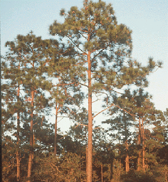
Talladega National Forest is managed for timber production, primarily loblolly pine. However, reforestation plans are to re-establish native long-leaf pine. Forest stands in the basin containing the Talladega Wetland Ecosystem are approaching 70 years old, with a mix of mature pine and hardwoods, particularly oaks, hickory, sweet gum, and tulip poplar.